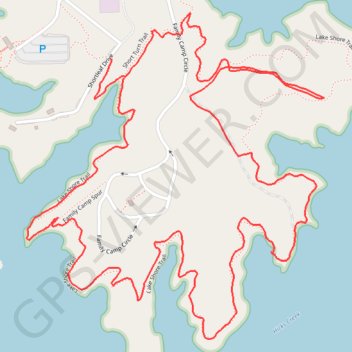
Lake Norman State Park Hike
- Distance: 5.7 Km
- Elevation gain: 67 m
- Maximum elevation: 256 m
- Elevation loss: 66 m
- Minimum elevation: 233 m
- Moving time: 1 h 6 m
- Moving speed: 5.1 Km/h
- Maximum speed: 7.8 Km/h
- Total time: 1 h 11 m
- Global speed: 4.8 Km/h
- Date: Wednesday, 24 April, 2024
Interactive map
GPS track profile
About this GPS track
Name: Lake Norman State Park Hike GPS track, route, trail
Start: Short Turn Trail, Iredell County, North Carolina, United States (35.64889 -80.94364)
End: Lake Shore Trail (southern half), Iredell County, North Carolina, United States (35.64941 -80.94408)
Coordinates: 35.64179 -80.94691 35.65065 -80.93690
Other GPS tracks
Click on a GPS track to view route, its statistics and profile.