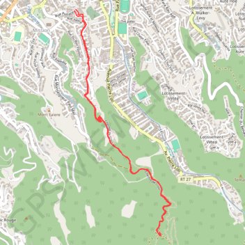
Randonnée au parc biblique
Randonnée en aller-retour depuis Papeete. #Randonnée #Tahiti #Pacifique
- Distance: 7.3 Km
- Elevation gain: 420 m
- Maximum elevation: 287 m
- Elevation loss: 424 m
- Minimum elevation: 43 m
- Moving time: 1 h 28 m
- Moving speed: 5.0 Km/h
- Maximum speed: 9.3 Km/h
- Total time: 1 h 28 m
- Global speed: 5.0 Km/h
- Date: Saturday, 02 August, 2014
Interactive map
GPS track profile
About this GPS track
Name: Randonnée au parc biblique GPS track, route, trail
Coordinates: -17.56334 -149.55736 -17.54029 -149.54702
Other GPS tracks
Click on a GPS track to view route, its statistics and profile.
TAHITI - PEDESTRE - Pirae - le belvédère
France > Polynésie française > Îles du Vent > Pīraʻe
Randonnée pédestre. Depuis Papeete. #Randonnée
Distance: 9.2 Km • Elevation gain: 411 m • Maximum elevation: 649 m
TAHITI - PEDESTRE - Papeete - La mission
France > Polynésie française > Îles du Vent > Papeete
Randonnée en aller-retour depuis Papeete. #Randonnée
Distance: 5.6 Km • Elevation gain: 362 m • Maximum elevation: 290 m