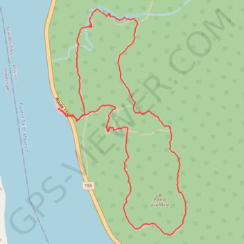
Sentier national - Tronçon Père Jacques-Buteux
Interactive map
GPS track profile
About this GPS track
Name: Sentier national - Tronçon Père Jacques-Buteux GPS track, route, trail
Coordinates: 46.71756 -72.75874 46.73259 -72.74633
Other GPS tracks
Click on a GPS track to view route, its statistics and profile.