Moroka Camp
Interactive map
GPS track profile
About this GPS track
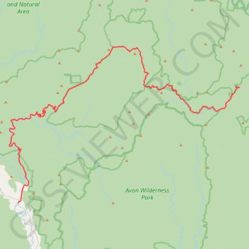
Name: Moroka Camp GPS track, route, trail
Start: Licola, Shire of Wellington, Victoria, 3858, Australia (-37.62962 146.62355)
End: Moroka Road, Moroka, Shire of Wellington, Victoria, Australia (-37.47439 146.99968)
Coordinates: -37.62962 146.60807 -37.41820 146.99975
Other GPS tracks
Click on a GPS track to view route, its statistics and profile.