28-SEPT-21 13:56:47
- Distance: 9.7 Km
- Elevation gain: 74 m
- Maximum elevation: 163 m
- Elevation loss: 71 m
- Minimum elevation: 127 m
- Moving time: 3 h 30 m
- Moving speed: 2.8 Km/h
- Maximum speed: 4.9 Km/h
- Total time: 4 h 50 m
- Global speed: 2.0 Km/h
- Date: Tuesday, 28 September, 2021
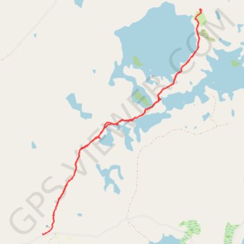
Interactive map
GPS track profile
About this GPS track
Name: 28-SEPT-21 13:56:47 GPS track, route, trail
Coordinates: 68.92127 27.05738 68.95136 27.11640
Other GPS tracks
Click on a GPS track to view route, its statistics and profile.
Stage 1: Arctic Ocean to Väylä — European Divide Trail
Distance: 2,785.0 Km • Elevation gain: 23,823 m • Maximum elevation: 722 m