Gorges d'Imbros
De Imbros à Chora Sfakion. #Randonnée
- Distance: 6.1 Km
- Elevation gain: 123 m
- Maximum elevation: 766 m
- Elevation loss: 716 m
- Minimum elevation: 166 m
Interactive map
GPS track profile
About this GPS track
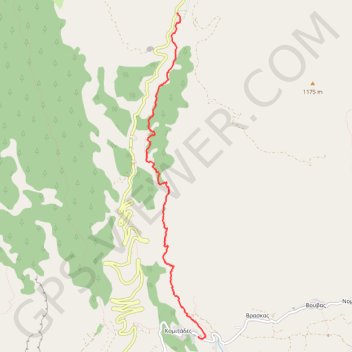
Name: Gorges d'Imbros GPS track, route, trail
Coordinates: 35.20744 24.16290 35.24799 24.17194
Other GPS tracks
Click on a GPS track to view route, its statistics and profile.
Trail Planner Map
Grèce > Région Crète > Περιφερειακή Ενότητα Χανίων > Imbros
Distance: 6.2 Km • Elevation gain: 76 m • Maximum elevation: 761 m