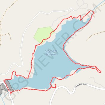
Sugar Pine Reservoir Loop
Loop hike around the Sugar Pine Reservoir via Joshua M. Hardt Memorial Trail and Sugar Pine Dam in the Tahoe National Forest. #Hike #Loop #Lake #Mountain #Nature #Forest #Dam
- Distance: 7.0 Km
- Elevation gain: 161 m
- Maximum elevation: 1,133 m
- Elevation loss: 161 m
- Minimum elevation: 1,097 m
- Moving time: 1 h 47 m
- Moving speed: 3.9 Km/h
- Maximum speed: 6.0 Km/h
- Total time: 1 h 58 m
- Global speed: 3.5 Km/h
- Date: Tuesday, 05 May, 2009
Interactive map
GPS track profile
About this GPS track
Name: Sugar Pine Reservoir Loop GPS track, route, trail
Start: Joshua M. Hardt Memorial Trail, Placer County, California, United States (39.13011 -120.79130)
End: Joshua M. Hardt Memorial Trail, Placer County, California, United States (39.13016 -120.79127)
Coordinates: 39.12862 -120.80141 39.14144 -120.78217
Other GPS tracks
Click on a GPS track to view route, its statistics and profile.
Chester - Walker
États-Unis d'Amérique > Californie > Plumas County > Chester
Vélo. En aller simple entre Chester et Walker. #Vélo
Distance: 383.8 Km • Elevation gain: 6,088 m • Maximum elevation: 2,541 m